Drone Roof Inspection in Thousand Oaks, CA
Commercial Roofing Services · Thousand Oaks, CA
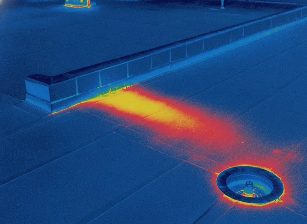
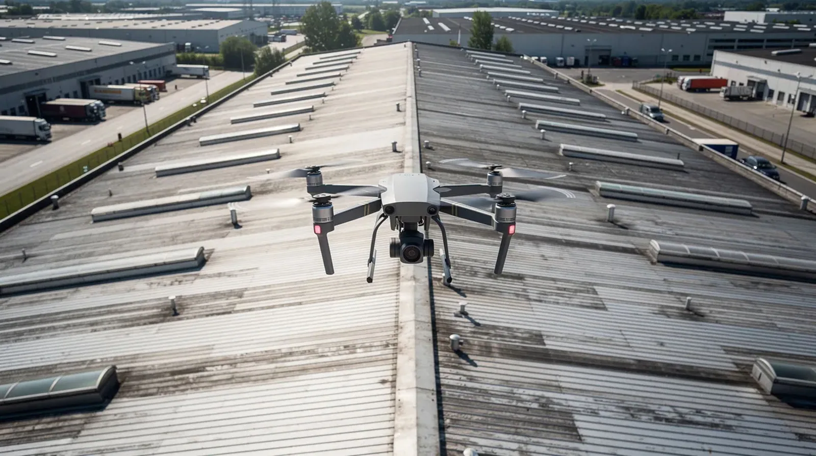
Aerial finding: a diagonal band of discoloration across the field of a distribution roof, invisible from the loading dock and plain from sixty feet up, lining up with a chain of ponding stains along the low side of the deck. A pattern that size is a baseline question, not a repair ticket, because it says the roof is not aging evenly and that the remaining service life on one side differs from the other. Drone roof inspection in Thousand Oaks, CA gives an owner that whole-roof view in a single flight: a mapped visual and thermal record of large industrial and campus roofs, tall buildings, roofs with uncertain decking and roofs behind restricted access. It does not replace the hands-on survey. It tells the hands-on survey where to go first, and for an owner with more than one building it puts every roof on the same footing for the next budget cycle.
Drone Roof Inspection
Commercial Roofing Services
Call our team
Written findings and options
Thousand Oaks, CA
Ventura and Los Angeles counties
Fit: roofs where a drone earns its place
The method pays off where roof area is large and access is awkward, and the Conejo Valley's commercial stock has plenty of both. Rancho Conejo Industrial Park combines tilt-up and R&D buildings with a warehouse Amazon opened there in 2018, Amgen's lab, manufacturing and office campuses put many buildings in one owner's hands, and The Oaks, a two-level regional mall, is the largest shopping center in Ventura County. Across a portfolio like that, one flight per roof produces a first ranking well before a full walk could, and the walking survey that follows is spent on the sections the imagery flagged.
Drones are also valuable where a roof is unsafe to walk: a deteriorated deck, a skylight field with fragile glazing, a steep or high roof without fall protection, or an area still unstable after a fire or storm. In those cases the aerial survey is not a convenience. It is the safest way to find out what is there before anyone steps on it.
Capture: visual, thermal and mapped imagery
A flight collects several kinds of evidence. Overlapping high-resolution photographs are stitched into a map of the whole roof, so every defect has a location that can be measured and found again. Close images document membrane condition, seams, flashing terminations, drains, ponding stains, debris, rooftop equipment and edge metal. A thermal camera adds a second layer: surface temperature differences that can indicate where moisture may be trapped under the membrane, or where heat is escaping from the building.
Thermal imagery from a drone is a screening tool and it has limits that we state plainly. Surface temperature depends on sun angle, wind, roof color and surface condition, so a thermal anomaly is a prompt for further testing and not a proof of wet insulation. When thermal data suggests moisture, the next step is an infrared moisture survey at the right time of day, with core cuts to confirm what the roof actually contains.
Limits: what a drone cannot tell you
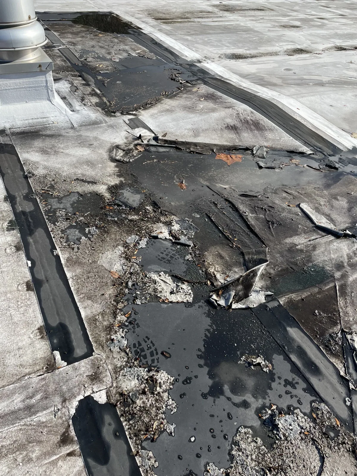
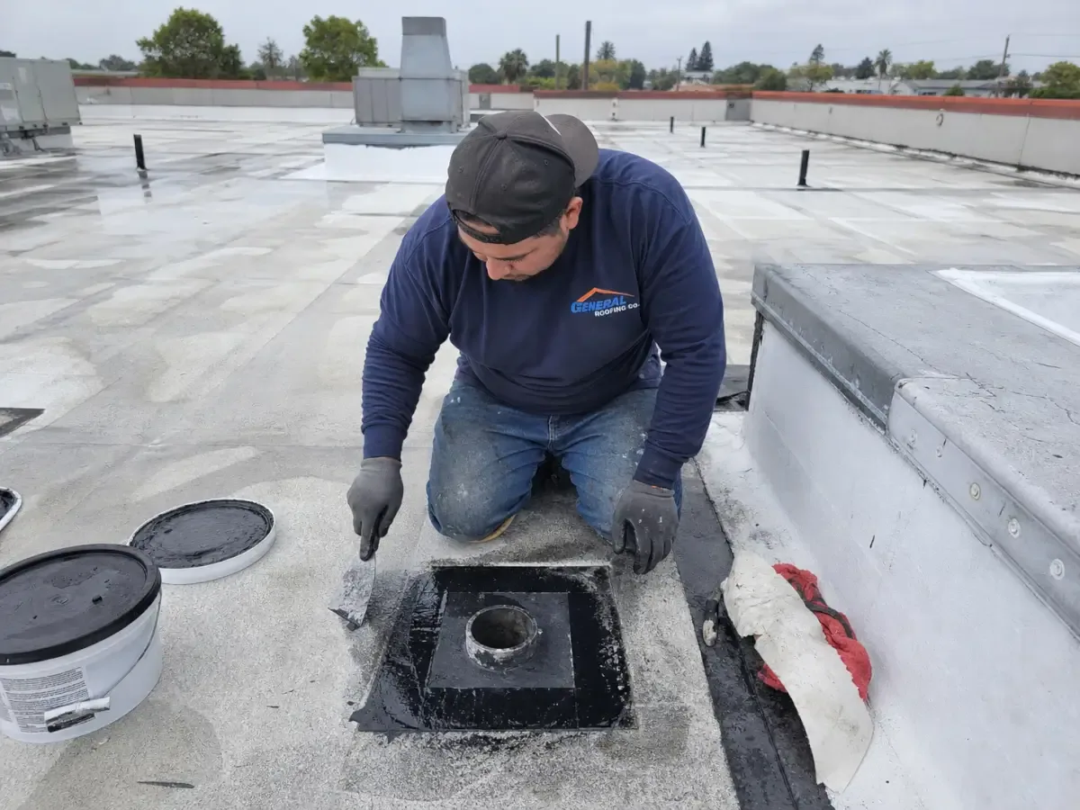
A drone sees surfaces. It cannot press on a seam, feel a soft deck, probe the edge of a flashing or pull on a loose termination bar, and it cannot see what is under a membrane. A roof that looks clean from above may still have open laps that only a probe will find. For that reason we treat aerial imaging as one stage of a complete assessment. The aerial pass sets the plan, and the hands-on work in a commercial roof inspection verifies and grades each finding at close range.
Knowing what each tool contributes keeps the owner from buying more or less than the roof needs. A small roof that is easy to walk may not need a drone at all. A very large roof with a limited budget may use the drone for the whole area and the hands-on survey only where the aerial data raises a question. We recommend the combination that fits the building and say so when a drone adds little.
Safety: fewer people on fragile roofs
Every minute spent on a roof is exposure to falls, to unstable surfaces and to heat. On days when the weather service's Los Angeles/Oxnard office puts the valleys under an Extreme Heat Warning, a dark membrane runs far hotter than the air above it. A drone survey reduces the hours that people spend on a surface that may be hot, slick with ash or structurally uncertain. It also reduces wear on the roof itself, since fewer footsteps on aged membrane means fewer new punctures and less damage to a surface that is already near the end of its life.
Fire-affected roofs are a good case. After a wildfire such as the 2018 Woolsey Fire, which affected Thousand Oaks and Newbury Park, a roof can carry ash, debris and heat damage. Looking at it from above before stepping onto it lets us decide where it is safe to go, what has to be cleared and where the first hands-on work should begin, the planning that a fire-damaged roof needs.
Conditions: wind, airspace and flight planning
Drone work is governed by weather and by airspace. Santa Ana winds can exceed 40 mph, and a day of offshore wind is not a flying day, so surveys are scheduled for calm, clear periods when images are sharp and thermal readings are stable. Airspace rules and site access are settled before a flight. Camarillo Airport, a county-owned general aviation field three miles west of central Camarillo, handled 108,566 aircraft operations in 2020, so a flight over hangar and shop roofs at Camarillo Airport begins with airspace authorization and coordination with airport operations, well before the aircraft leaves the ground.
Privacy and operations matter as well. We coordinate flights with the property manager, notify tenants where a flight passes near occupied areas, and keep the aircraft clear of people and traffic. At a hospital, a school or an operating plant, the route and timing are agreed in advance so that the survey does not interfere with the building's work.
Deliverables: findings an owner can use
The output is a report, not a video. It includes the mapped roof image, annotated photographs of each finding, thermal images where they are useful, a list of areas that need hands-on follow-up and a recommended scope. The same imagery becomes part of the building's permanent record, which feeds roof condition reports and shortens the time needed for a later survey.
For a portfolio owner the value compounds. Flown again on the same grid a year later, the map shows which ponding stains have grown, which seams have opened and which sections have moved closer to their replacement horizon, and that change log is the evidence a reserve study needs. If the imagery points to a failing roof, the next decision is between repair and commercial roof replacement, and the aerial record supports either scope.
Along the Thousand Oaks Boulevard corridor, drone imagery lets us relate roof findings to parapets, equipment clusters and drainage zones across separate buildings.
Commercial Roofing Questions
Can an aerial survey stand in for a hands-on baseline?
As a first ranking across a large roof or a portfolio, often. For repair pricing or a warranty decision, it has to be paired with a walk that probes seams and flashing and confirms moisture findings with cores.
Can a drone find wet insulation?
It can show thermal patterns that suggest trapped moisture. Those patterns are confirmed with an infrared survey at the proper time and with core cuts, because a surface image alone can mislead.
How does Santa Ana wind affect when a flight can be scheduled?
Offshore wind grounds the aircraft and unsettles thermal readings, so flights are booked for calm, clear windows and moved when a wind event is forecast. Roof area, access approvals and the number of buildings set the rest of the timeline.
Does anyone need roof access during the flight?
Not for the flight itself. A safe launch point and coordination with building staff are still needed, and the imagery may call for a hands-on follow-up on specific sections.
What goes into the building file after a flight?
A mapped roof image, annotated findings with locations, thermal images where useful and a written summary with a prioritized scope, delivered in a format your team can keep and compare against the next flight.